


Acadian Xpressway Corridor, Southern Corridor of Mounds
Acadian Xpressway System
 |
.jpg) 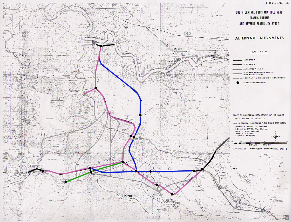
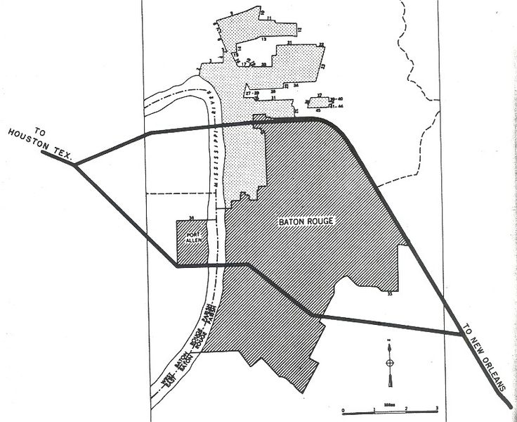
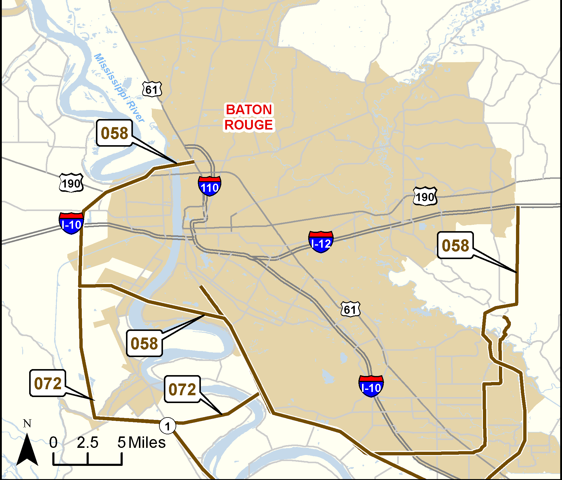
History of Proposed Toll-Road Systems in LouisianaBefore the Interstate System was created in 1956, turnpikes/toll roads were seen as the way to build superhighways. Louisiana proposed its first toll road named the Acadian Thruway in 1953. It was planned to cut across the Atchafalaya Basin straight between Lafayette and New Orleans, while avoiding the flooding from hurricanes that would cutoff U.S. 90 through Morgan City and Houma. The route of the Acadian Thruway was from Lutcher in the east to Lafayette in the west connecting U.S. 61 and U.S. 90. Early planning of the Interstate System studied a freeway along U.S. 90 from Lafayette to New Orleans via Morgan City. Building I-10 through Lafayette was opposed by the mayor of the city and the Louisiana Highway Department decided to route I-10 along U.S. 190 from Beaumont Texas to Baton Rouge then New Orleans. This became the basis for the freeway plans of Baton Rouge in the "Yellow Book" plans for the urban freeways in the Interstate System. The highway department built the U.S. 190/U.S. 61 Airline Highway as a consequence and set the present location of the I-10 Mississippi River Bridge, which was really planned for I-410 through Baton Rouge. However, the Bureau of Public Roads required that citys with populations of 50,000 were linked in the Interstate System. The Interstate planned approved in 1957 included Lafayette in the route, so the current direct routing of I-10 through Lake Charles, bypassing close to Lafayette, through Baton Rouge (using the new bridge), and then along a new terrain route to New Orleans (U.S. 61 became over-developed by the 1970's). Louisiana did try to include the Acadian Thruway as an Interstate route, but the idea was declined by the Bureau, and the Acadian Thurway went into mothballs in 1957. The state highway department continued its commitment to build the Sunshine Bridge (completed in 1964). In 1965, after the Sunshine bridge was completed, local interests were going to revive the Acadian Thurway proposal to increase traffic usage on the toll Sunshine bridge. However, the effort ended due to contract litagation and projections that toll revenues would never match the bonds used to fund the construction. The South Central Louisiana Toll Road Association proposed (1972) to build two toll roads connecting Morgan City, Houma, and Donaldsonville. This group planned to complete U.S. 90 as a toll-road to from Morgan City to New Orleans through Raceland, bypassing Houma, and building a connector toll-road north to Donaldsonville and the Sunshine Bridge. This toll-road project was only studied, however U.S. 90 was completed as a freeway under the TIMED program in the 1990's and LaDOTD plans to build at least a limit-access four-lane divided highway (with a controlled-access toll-road in the distant future) from Houma to Thibodaux and La 3127. 
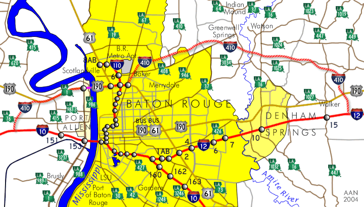
Acadian Xpressway System ConceptThis Acadian Xpressway System is a potential toll-road system based on proposed Louisiana megaproject freeway/toll-roads listed in several of the State Transportation Plans. The Acadian Xpressway System would likely generate a substantially larger revenue stream than isolated local toll-road projects like the Baton Rouge Loop, Lafayette Loop, and Westside Connector Expressway. The proposed toll-road system would require two new Mississippi River Bridges and the improvements (including widening) to the existing Sunshine Bridge and the Veterans Memorial bridge at Gramercy. Elevated twin viaduct bridges with 4-6 lane capacity will be required over the wetlands of the Atchafalaya Basins. The viaducts could accommodate U-turn overpasses/emergency crossovers, and even third 2-lane viaduct in the median between main roadways to permit continuous traffic during emergencies and accidents. The system should incorporate an intelligent highway management system with electronically variable speeds limits set during fog and rain conditions to minimize accidents. This system should warn drivers of accidents and the associated traffic congestion to advise drivers ahead of time to slow or exit for alternate routes. The system provides the four-lane highways needed to sustain the industrial development for the Port of Baton Rouge, Port of South Louisiana along the Mississippi River, Port Fourchon and the Port of New Orleans. This system provides bypass routes for interstate truck traffic around Lafayette, Baton Rouge, and New Orleans, especially serving as a short-cut alternate from Lafayette to New Orleans, relieving congestion on I-10 in Baton Rouge. |
|---|---|
Louisiana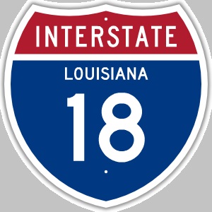
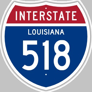 |
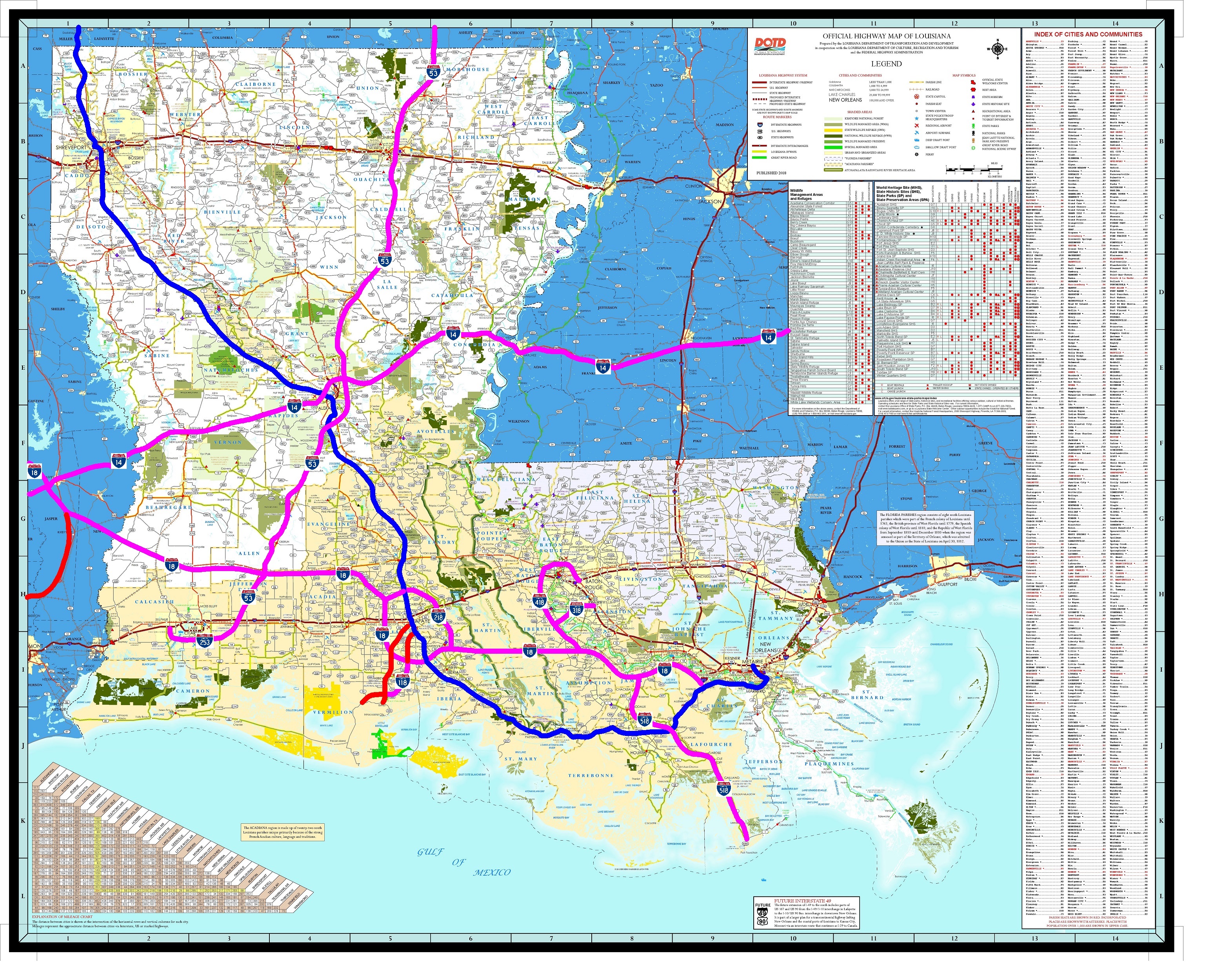
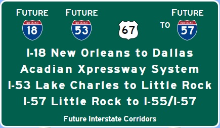
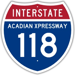
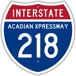
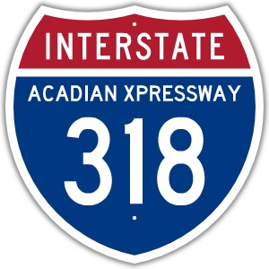
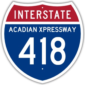
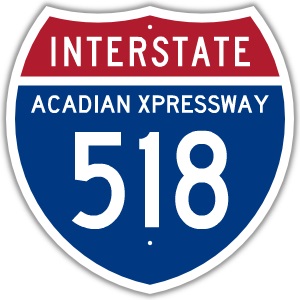
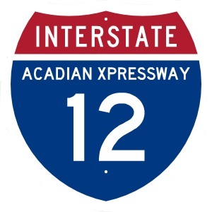
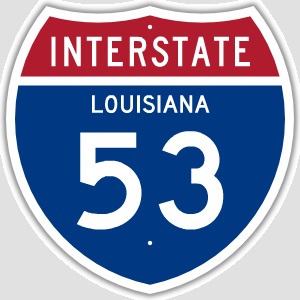
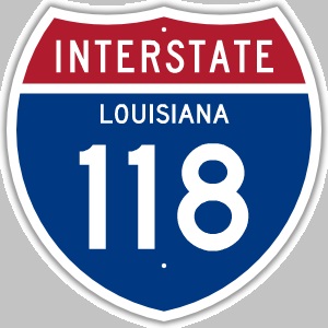
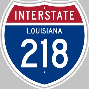
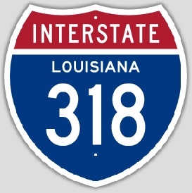
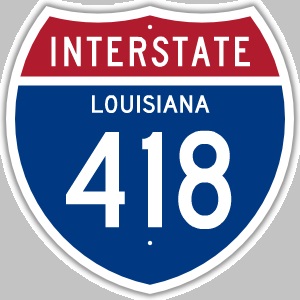
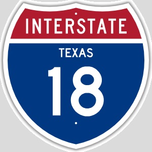
I-18I-18 is the proposed designation for a new terrain freeway running from New Orleans, Donaldsonville, Lafayette, Eunice, Kinder, the continuing west to the Texas border at the Sabine River to Jaspar Texas and ultimately to I-20 and I-45 in Dallas Texas. I-18 would start at I-310/LA 3127/Future I-49/U.S. 90 interchange. I-18 follows LA 3127 forming the southern segment of the Westbank Expressway Connector Toll-Road. LA 3127 was actually built in the 1970's with enough right-of-way for a future four-lane highway from I-310 to LA 70 in Donaldsonville. I-518 is the proposed designation for the LA 1 Expressway Toll-Road and the proposed Houma-Thibodaux LA 3127 to U.S. 90 Connector. LaDOTD has been building the LA 1 Expressway toll-road from Port Fourchon to US 90 west extension and now is planning to build the Houma/Thibodaux/LA 3127 Connector initially as a four-lane divided highway the eventually as a fully controlled access highway. I-18 continues west to Lafayette forming a second Atchafalaya Basin freeway crossing, providing and alternative to the traffic congestion of I-10 in Baton Rouge. I-418 forms the northern segment of the Westbank Expressway Connector and I-318 would be the connector to the proposed South Baton Rouge Mississippi River Bridge near Gabriel. West of the new Atchafalya Basin Crossing Bridge, I-18 bypasses south and west of Lafayetter to form the proposed Lafayette Metropolitian Expressway, while I-218 forms the east and north segments of the extended Lafayette Metropolitan Expressway. An I-118 spur connector runs from I-18 south of Lafayette, bypassing east of Abbeville, crossing the Vermillion River with a high-level bridge between the Port of Vermillion and Intracoastal City, terminating at LA 82. The routing of I-18 becomes the alternate to I-10 for traffic to and from Houston to New Orleans. I-18 continues northwest to Eunice to run generally follow US 190 to Texas. I-18 then runs northwest to Dallas Texas forming a New Orleans to Dallas cross-link that avoids I-10 to Houston and I-45/I-20 to Dallas. I-53I-53 is the proposed designation for the proposed US 165 Freeway from Lake Charles to Monroe. South of Lake Charles, I-253 extends from I-53 to the Port of Lake Charles. I-53 could bypass Alexandria to the west, connecting the Alexandria International Airport, or it could be routed with I-49 through the city. I-53 continues to follow the US 165 freeway with new freeway bypasses around many of the towns as appropriate. I-53 then becomes the "I-69 Spur Extension" studied by LaDOTD and the Arkansas Highway Department in 2009 and is the conversion of the I-530 "I-69 Spur" that is part of the I-69 project in Arkansas. I-53 would connect to I-30 and I-40 in Little Rock Arkansas. Congress recently created the Future I-57 Interstate Corridor and plans to convert the existing US 67 freeway northeast of Little Rock to I-57, then complete the freeway to US 60 in Missouri. The existing US 60 four-lane highway will also be converted to I-57 eastward to connect to the existing I-57 in Sikeston Missouri. The combination of I-53 and I-57 forms a continuous trade corridor freeway from Chicago Illnois to Lake Charles. Altogether the I-18 system with I-53 links all the southern ports of Louisiana. The ports at Baton Rouge/Port Allen, the Port of South Louisiana along the Mississippi River, and the Port of New Orleans are all connected by the I-18/I-418 Westbank Expressway. Port Fourchon is connected by I-518. The ports south of New Orleans along the Mississippi are connected by completing the LA 23 four-lane to Venice. The other ports in southwest Louisiana could be linked through a secondary system of four-lane divided highways like LA 27 and LA 82 to Cameron, the Sabine Pass, Freshwater City, and the Port Vermillion/Intracoatal City via I-118 south from Lafayette. I-14I-14 was first proposed in the 2005 MAP-21 Act under the title "The 14th Amendment Highway" envisioned to extend from Augusta Georgia to Natchez Mississippi. A feasibility study was completed and came to the conclusion that projected traffic need was low for this particular route. Support in state transportation departments in Georgia and Alabama never really formulated. Mississippi and Louisiana were more receptive especially after Texas took the initiative to create the Central Texas Corridor. A new bill (H.R. 6111) was introduced into the U.S. House of Representatives to extend the Future I-14 corridor created by Congress in 2015 FAST Act through Texas know as the Central Texas Corridor. If this bill is formally approved into law it will become the "I-14 Expansion and Improvement Act of 2018". The proposed I-14 expansion begins from the Central Texas Corridor that generally follows U.S. 190 through Texas, adding the Central Louisiana Corridor that generally follows LA 28 through Louisiana, and the Central Mississippi Corridor that generally follows U.S. 84 through Mississippi. The Future I-14 could become part of the conceptual Acadian Xpressway Toll-Road System to complete the route through Louisiana sooner within the 2020-2040 time period sooner than the 2040-2050 time frame more likely if the traditional Federal and state budgeting process is followed, waiting for funding in competition with other national transportation projects, usually given a low priority because it is a future Interstate and not an existing Interstate. |
Texas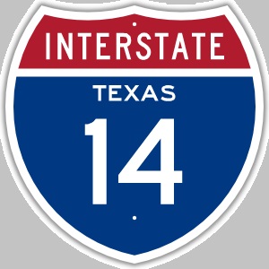
|
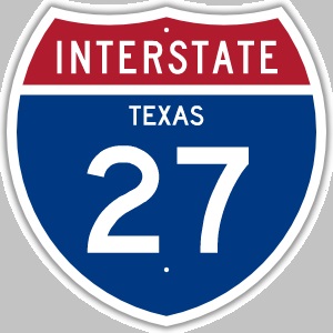
I-18I-18 continues to Jasper, then follow TX 63 and US 69 to Lufkin and Jacksonville. From Jacksonville, I-18 follows US 175 to Dallas Texas where it uses the existing US 175 Hawn Freeway into Dallas to terminate at I-45 in Dallas. I-14The new I-14 Central Texas Corridor follows the US 190 corridor from TX 63 near Jaspar to Hunstville, Bryan, Killeen as studied in 2011. The Central Texas Corridor created in the FAST Act has branch Interstate corridors to Midland, Sonora, and along US 190 to Madisonville with feeder corridors to Beaumont and Corpus Christi. Assuming the mainline corridor for I-14 goes to Midland, then the branch to Sonora could be I-114, and the branch to Madisonville could become I-314. I-14 is also the assumed designation for the 14th Amendment Highway from Natchez Mississippi through Alabama to Augusta Georgia. While Texas is actively planning to build I-14, both Louisiana and Mississippi have withdrawn support for the Gulf Coast Strategic Highway connecting Alexandria Louisiana and Natchez Mississippi. Planning for the 14th Amendment Highway is also at a stand still in Mississippi, Alabama, and Georgia. A conceptual Interstate corridor along US 79 to Austin could be either I-314 or I-214. I-27The proposed I-27 Ports to Plains Corridor extends north from Amarillo into Oklahoma and Colorado and south from Lubbock to Big Spring, San Angelo, Del Rio, and to I-35 near Laredo. |
Arkansas   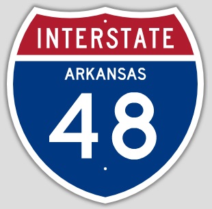 |
.jpg)
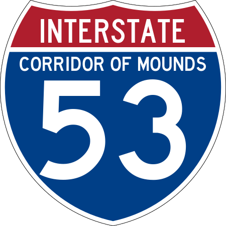
I-53I-53 would continue along the I-69 Spur Megaproject highway from Monroe to the planned I-69/I-530 interchange west of Monticello Arkansas. The existing I-530 would be incorporated in the I-53 Corridor from Monticello to Little Rock Arkansas. If I-53 were created from Lake Charles Louisiana to Little Rock, then an interstate corridor would exist from Chicago to Lake Charles with huge economic impact for southern Arkansas and northeast and southwest Louisiana. I-57The Interstate 57 Corridor Extension from Little Rock to I-57 in Missouri was officially defined in law in Section 128 of the 2018 Omnibus Appropriations Act on March 24, 2018.
The existing US 67 freeway from Little Rock with US 67 to Poplar Bluff Missouri and US 60 to the I-57/I-55 interchange in Sikeston Missouri has been officially designated as the Future I-57 Corridor. This creates a continuous interstate corridor from Chicago Illinois to Little Rock. I-48The conceptual I-48 Interstate corrdor is the conversion of US 412 in Northern Arkansas. I-48 runs through Northwest Arkansas in Benton County, the route serves Siloam Springs as a major route through the southern part of the city. US 412 has a concurrency with Highway 59 that ends in east Siloam Springs. US 412 becomes four-lane and runs east to enter Washington County. US 412 crosses I-49/US 62/US 71 in Springdale, where the route is four-lane with a center left-turn lane. Hindsville was bypassed in 2009 with a four-lane alignment of US 412. US 412 continues east, winding through forested land. In Alpena, US 412 begins a concurrency with US 62 for approximately 150 miles through north central Arkansas. After the concurrency ends, US 412 runs due east to through downtown Walnut Ridge. |
| Future I-50/I-60/I-70 Trans America Pioneer Corridor |
Future I-18 Acadian Xpressway Corridor, Future I-53 Southern Corridor of Mounds
|
|---|---|
Future I-66 Midwest Corridor of the Mounds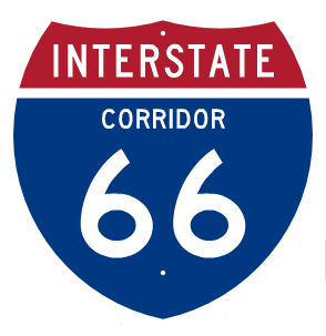
|
Future I-63 Emancipation Xpress Corridor
|
Future I-14 Corridor
|
Future I-76 Corridor
|
Future I-49 Corridor
|
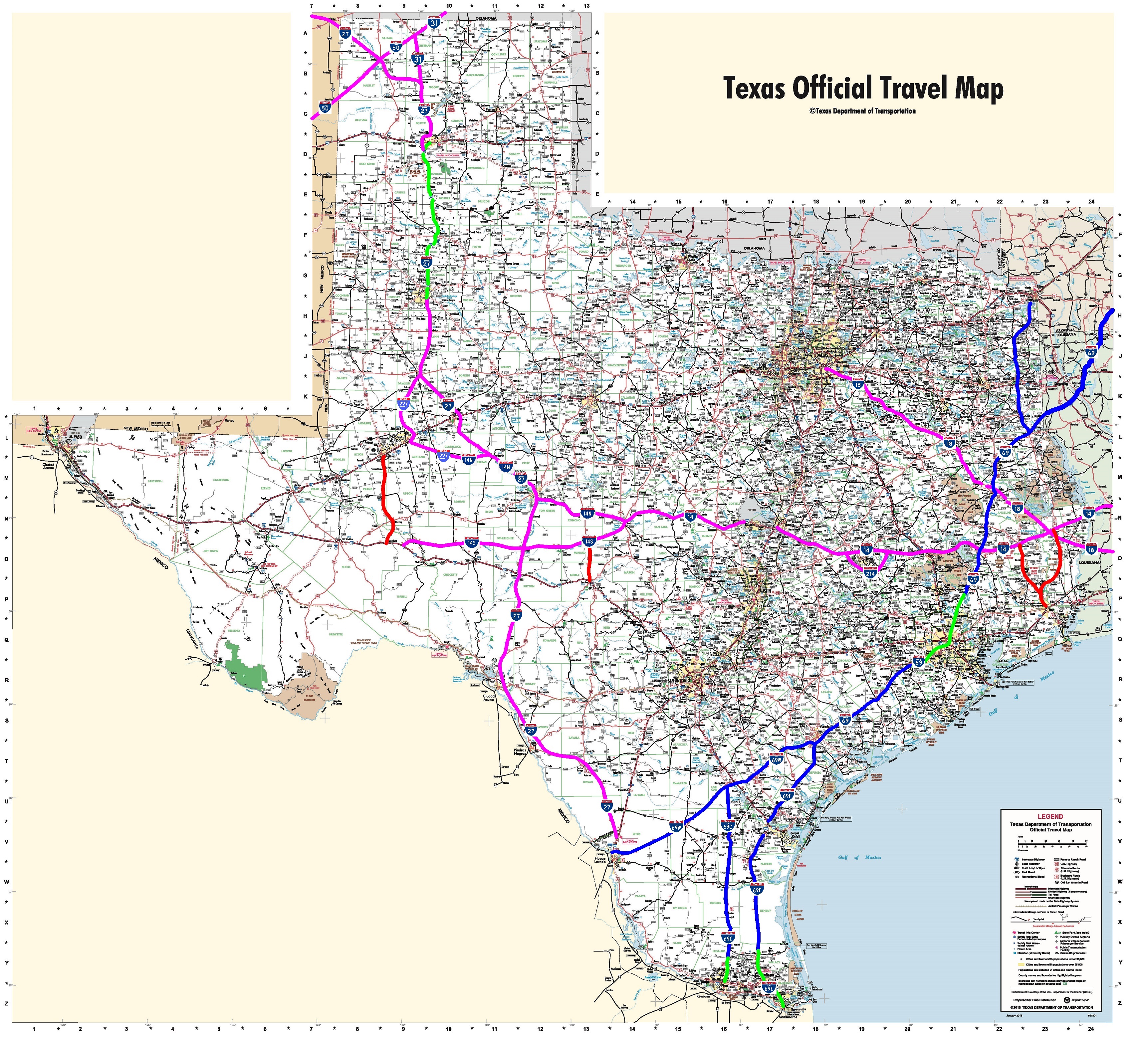
Future I-27 Ports to Plains Corridor, Future I-31 Great Plains Corridor, Future I-2 Rio Grande Corridor
|
Future I-48 Corridor
|
Future I-68 Corridor D/Corridor E
|